
Oct 16th, 2026
Words and photos by Erich Weidenkeller
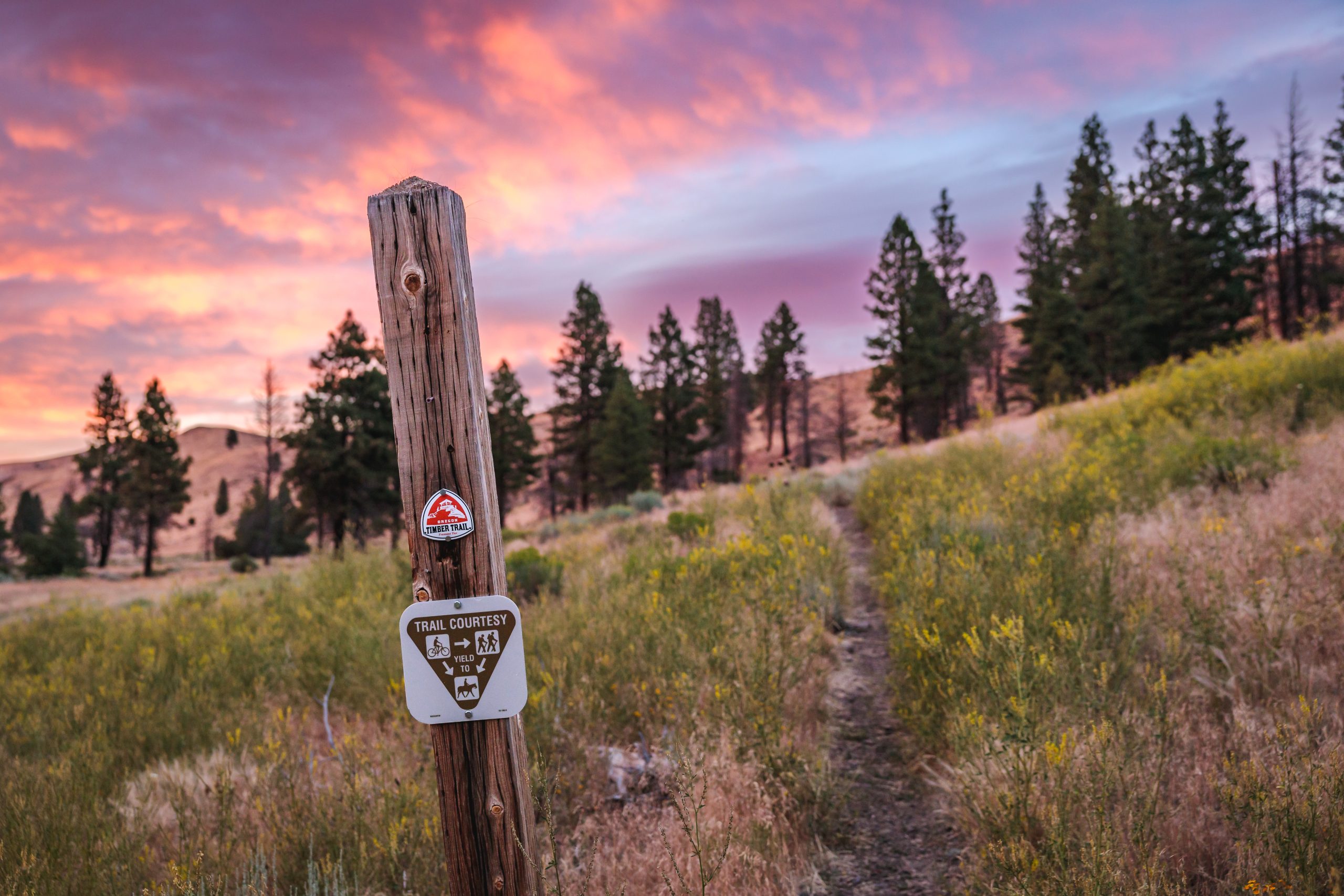
The Oregon Timber Trail is a nearly 700 mile mountain bike route across the length of Oregon, spanning from the California border to the Columbia River.
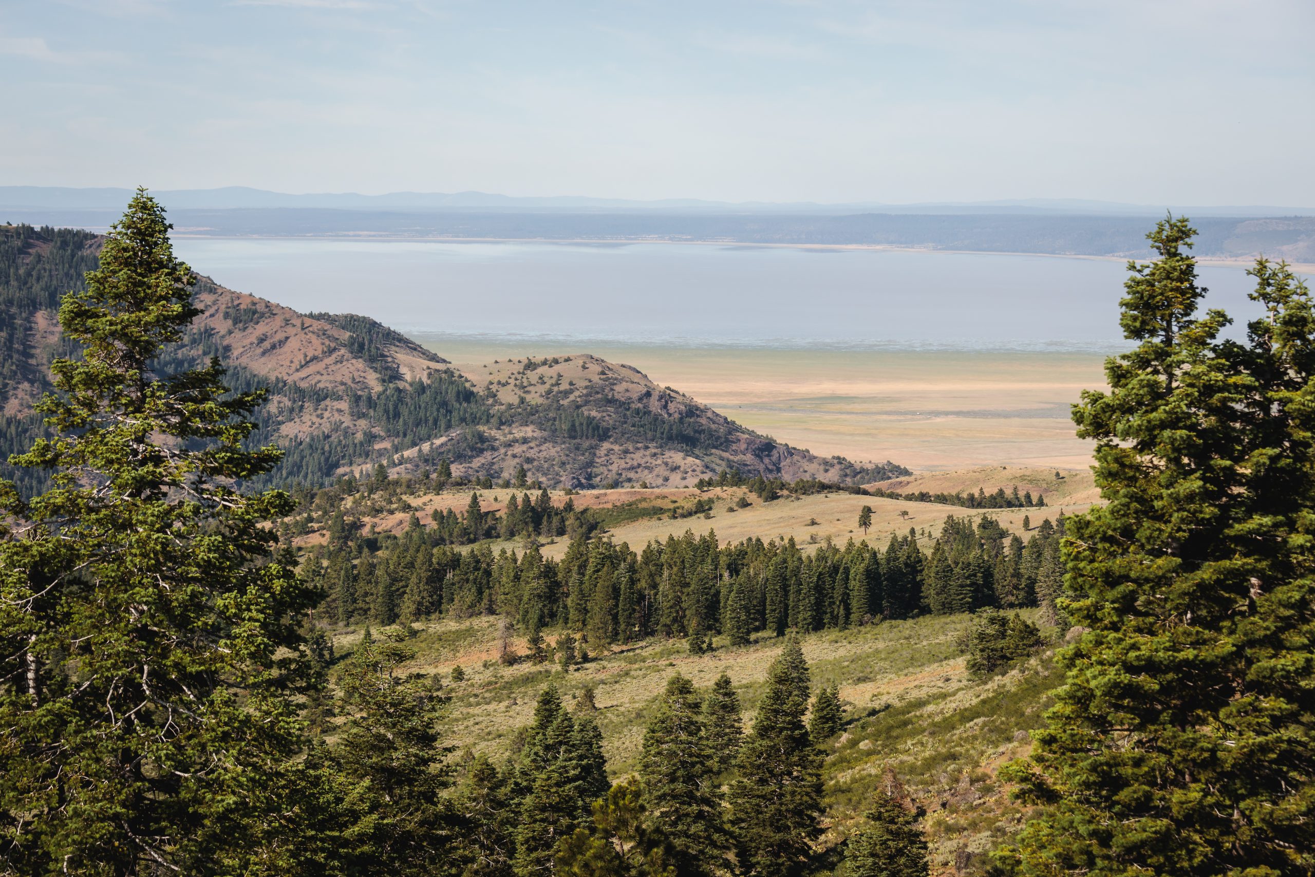
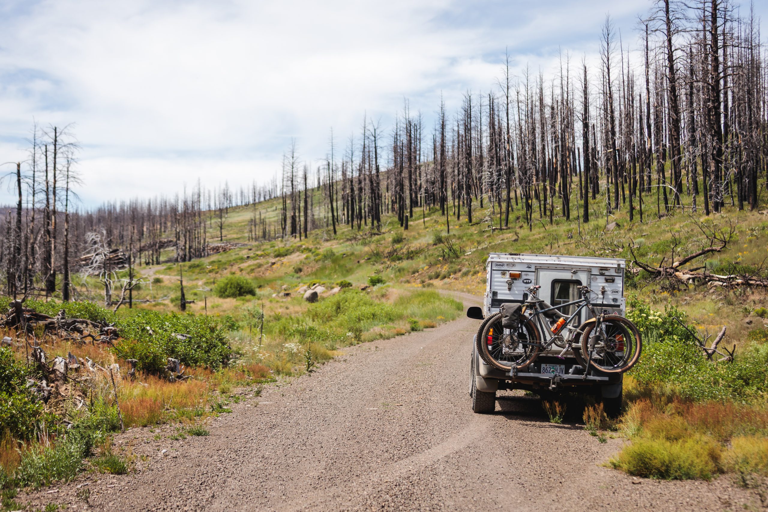
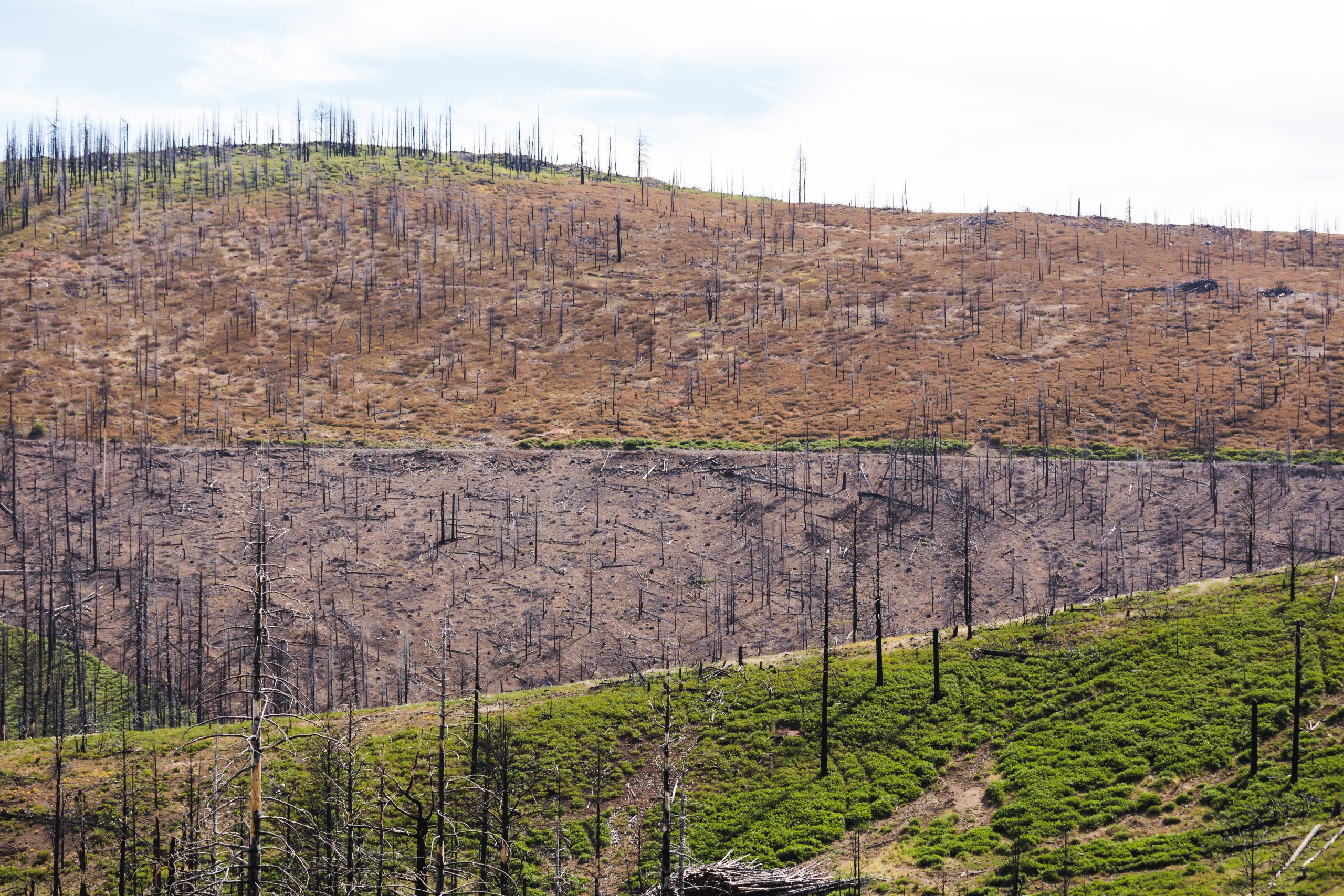
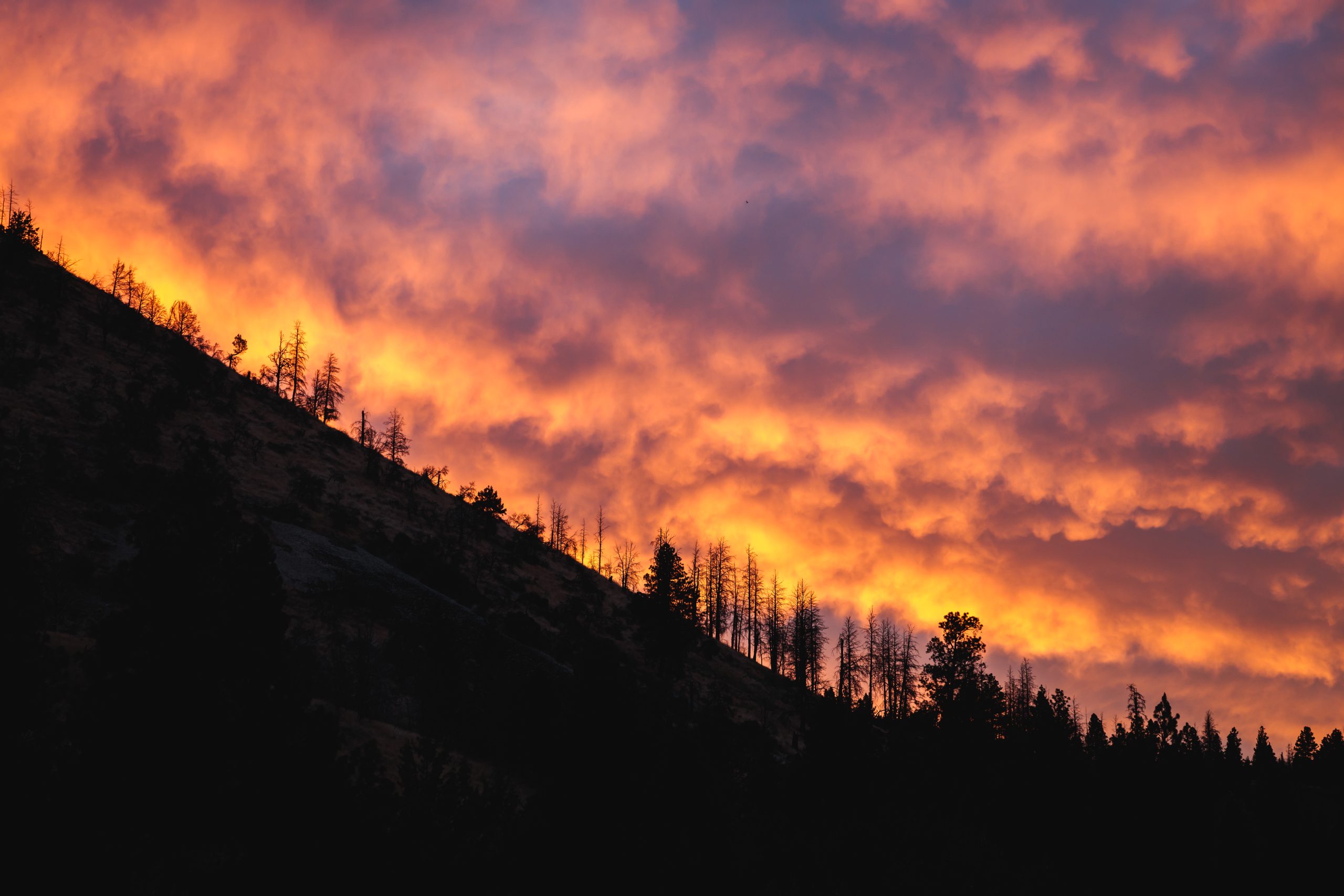
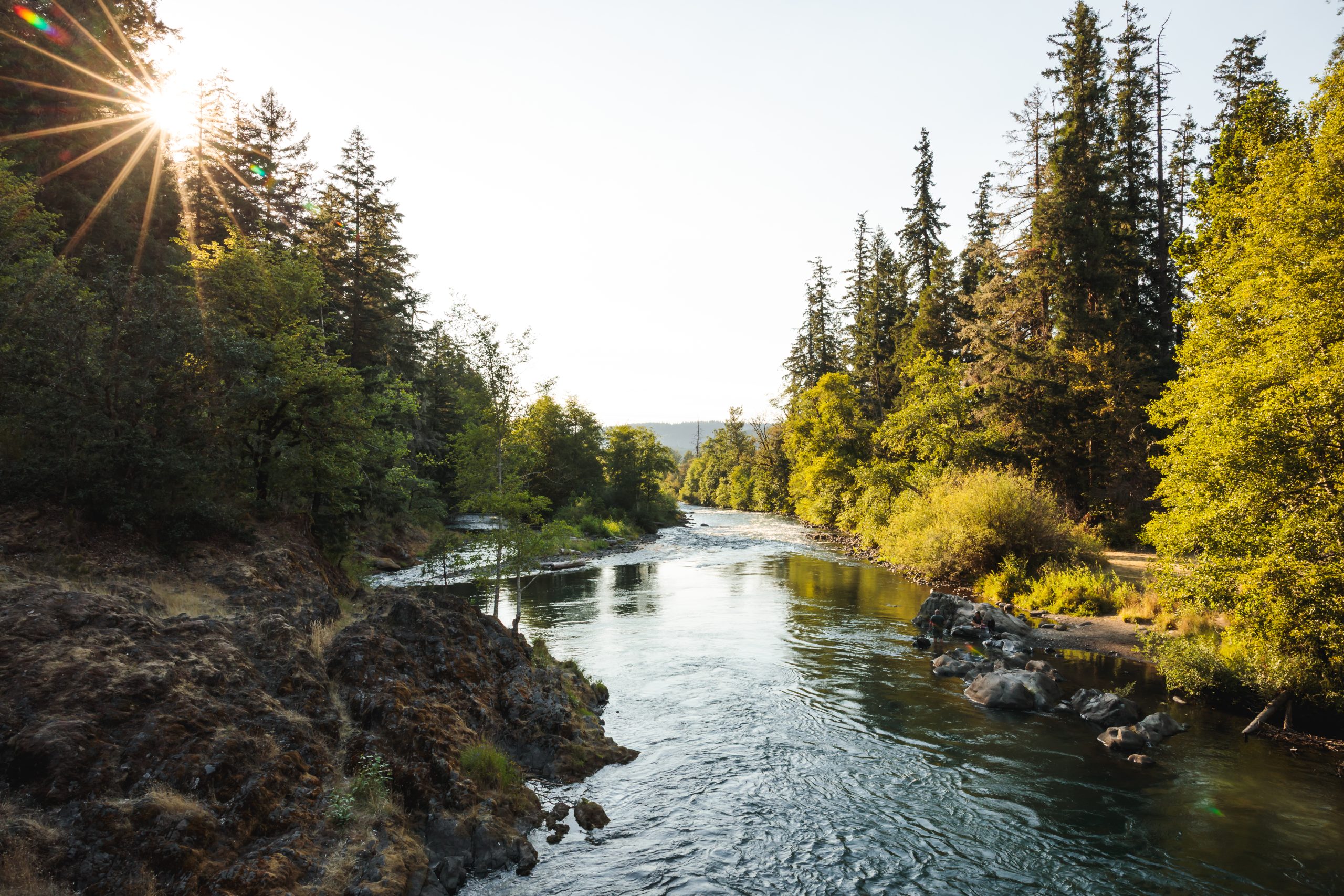
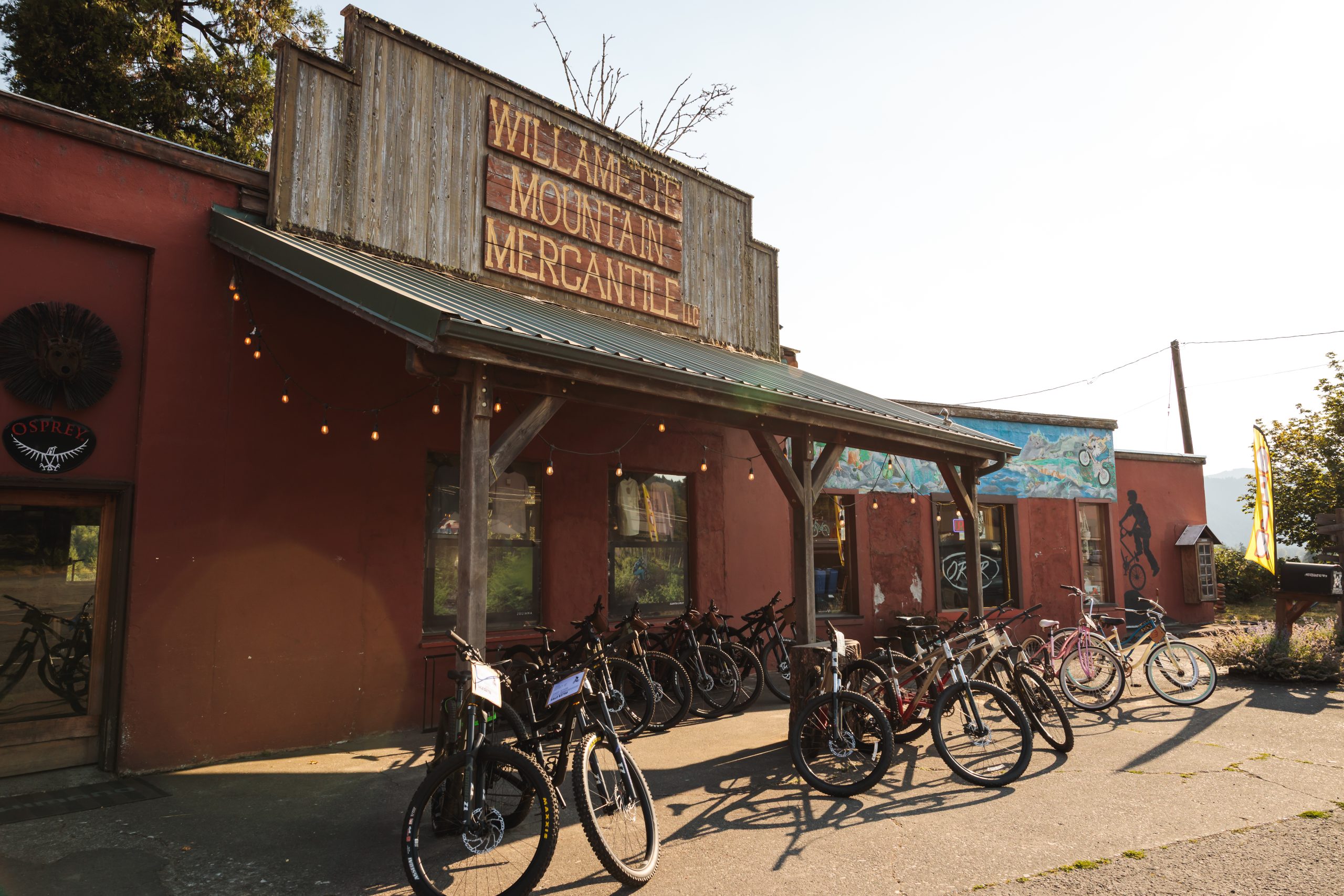
The route winds across vast expanses of High Desert sage steppe, into rugged river canyons and through vibrant Pacific Northwest forests as it traverses the state. Large segments of the route follow seldom used trails that are rough and overgrown. Forest fire is a constant threat, and the aftermath of deadfall and vegetation regrowth are significant challenges. Resupply points are few and far between, scattered across a handful of small towns along the route.
Erich Weidenkeller
Community and Content Manager
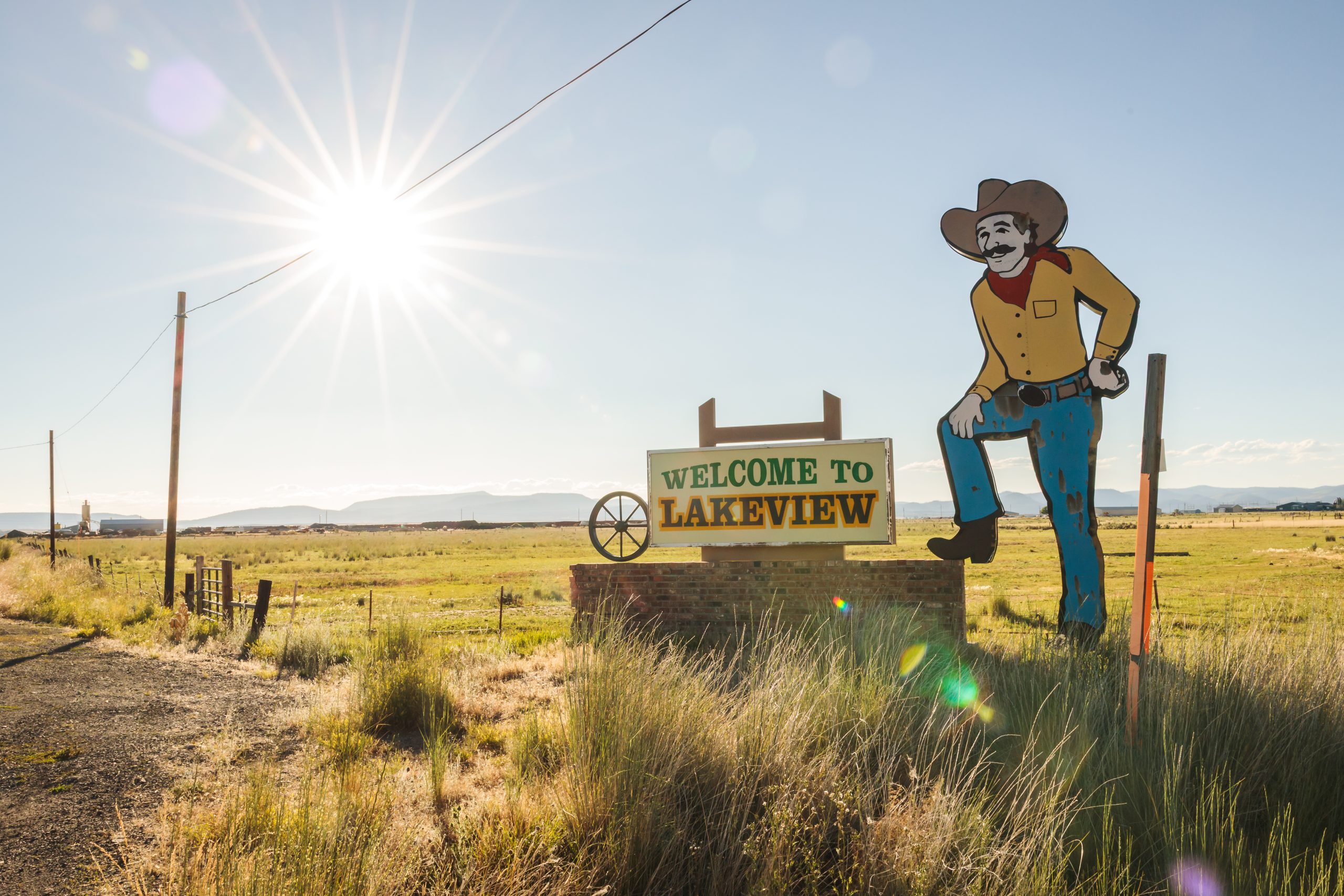
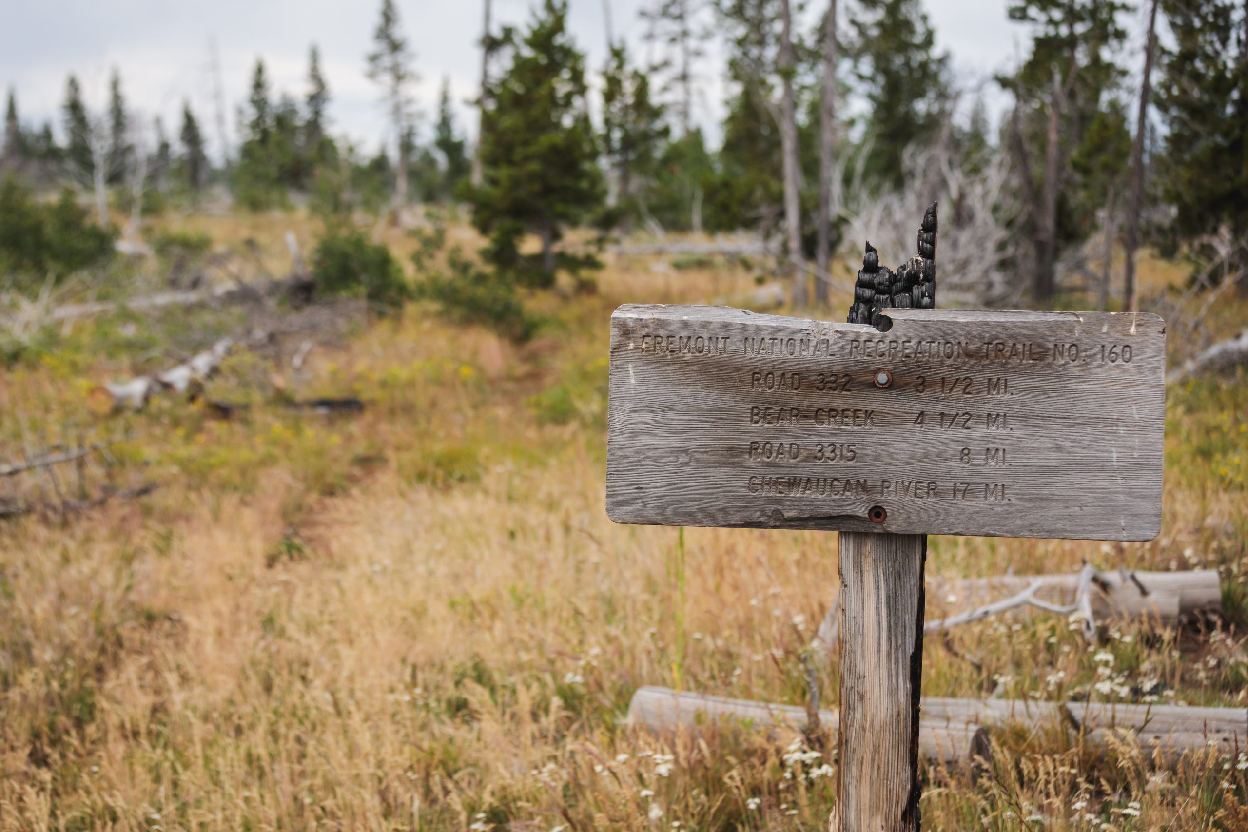
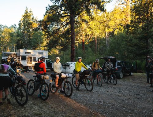
Each July a bikepacking race kicks off from the frontier town of Lakeview, Oregon. The Oregon Timber Trail Grand Depart has two versions: the full 670-ish mile route, called the OTT700, and a more attainable 300-ish mile variant, the OTT300. Both races start simultaneously at a small campground located deep in Fremont National Forest, and follow a route north to the mountain biking mecca of Oakridge, Oregon. OTT300 riders finish their adventure there, while cyclists tackling the full OTT700 continue another 400-ish miles to the Columbia River, which marks Oregon’s northern border and the finish line. The consistent blowdowns and aggressive regrowth on the route deter many riders from attempting the race, and those who take it on are small in number but big on perseverance.
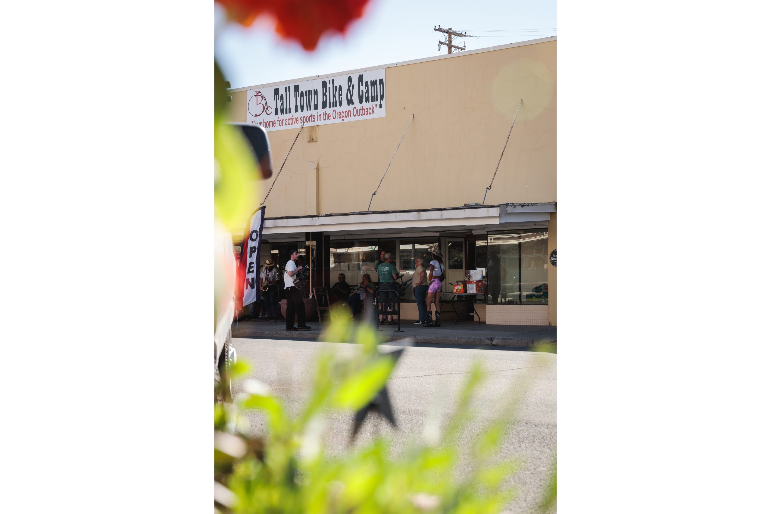
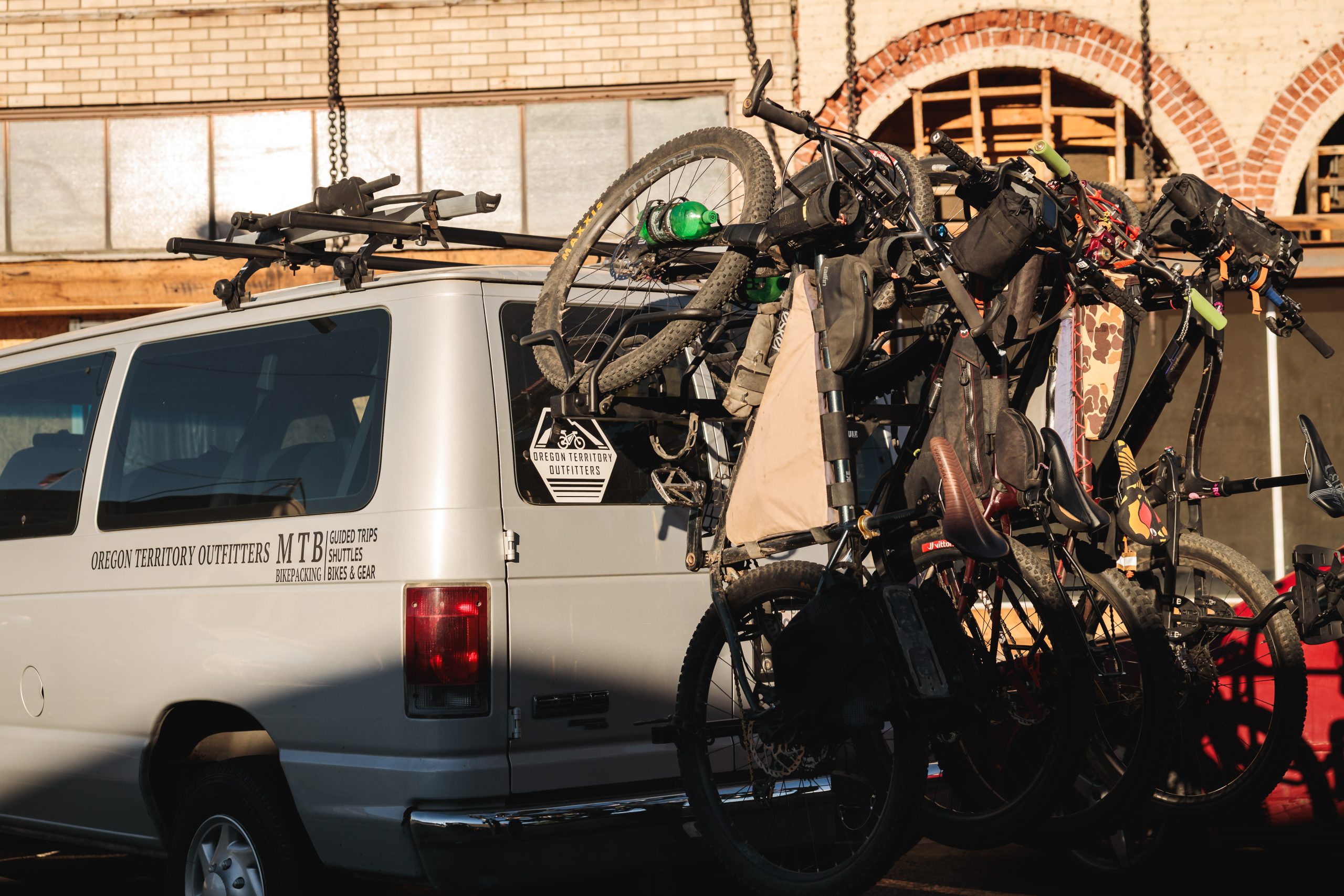
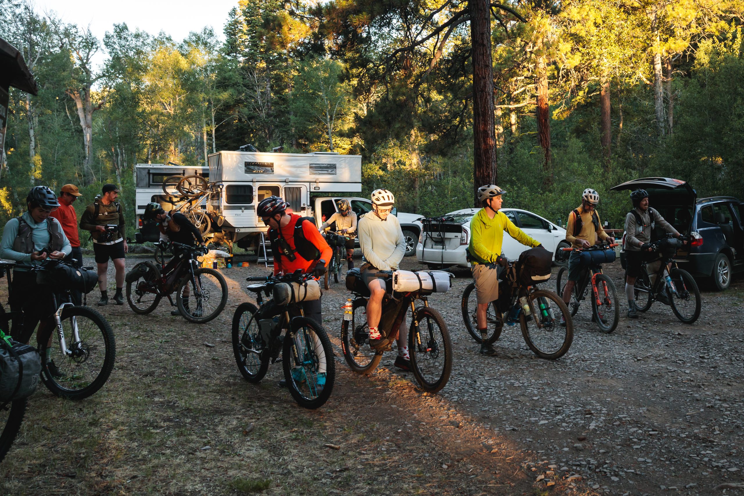
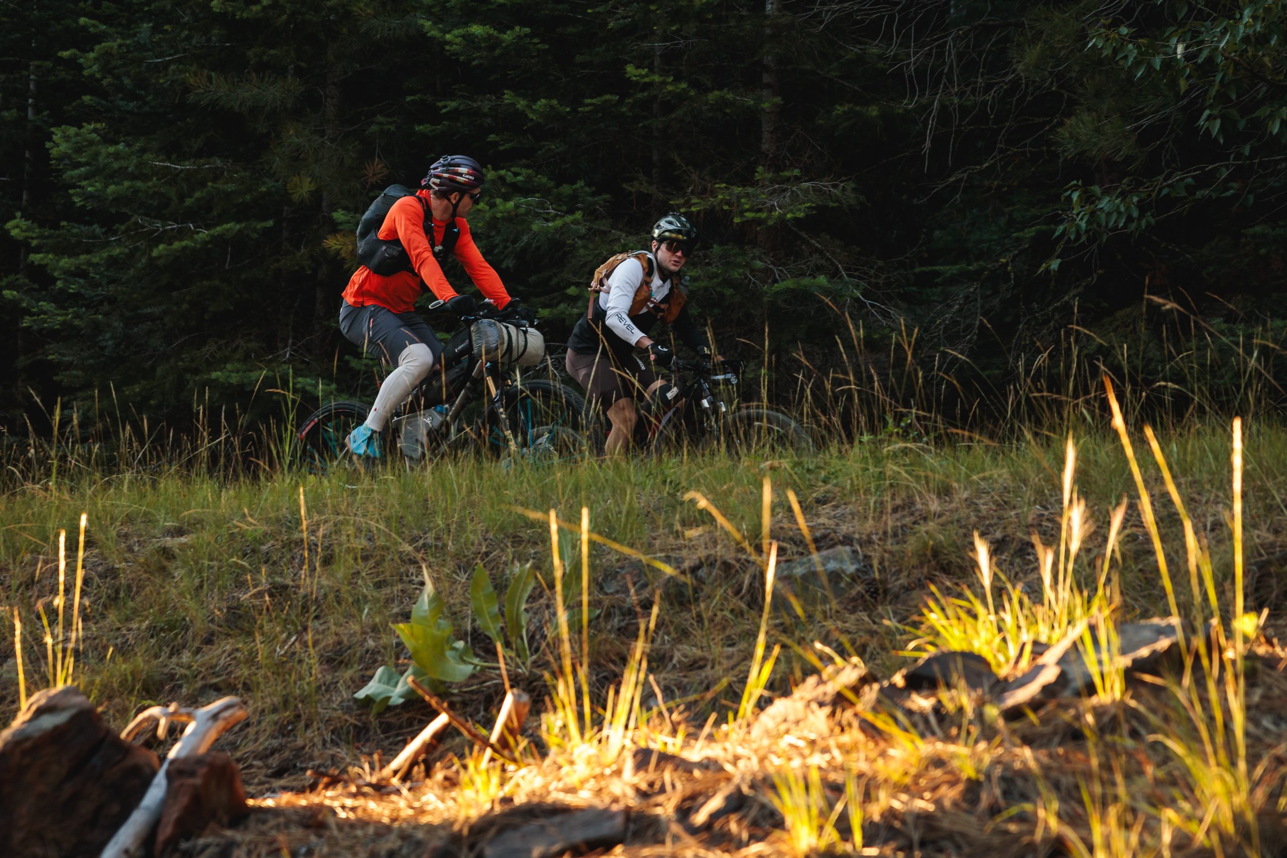
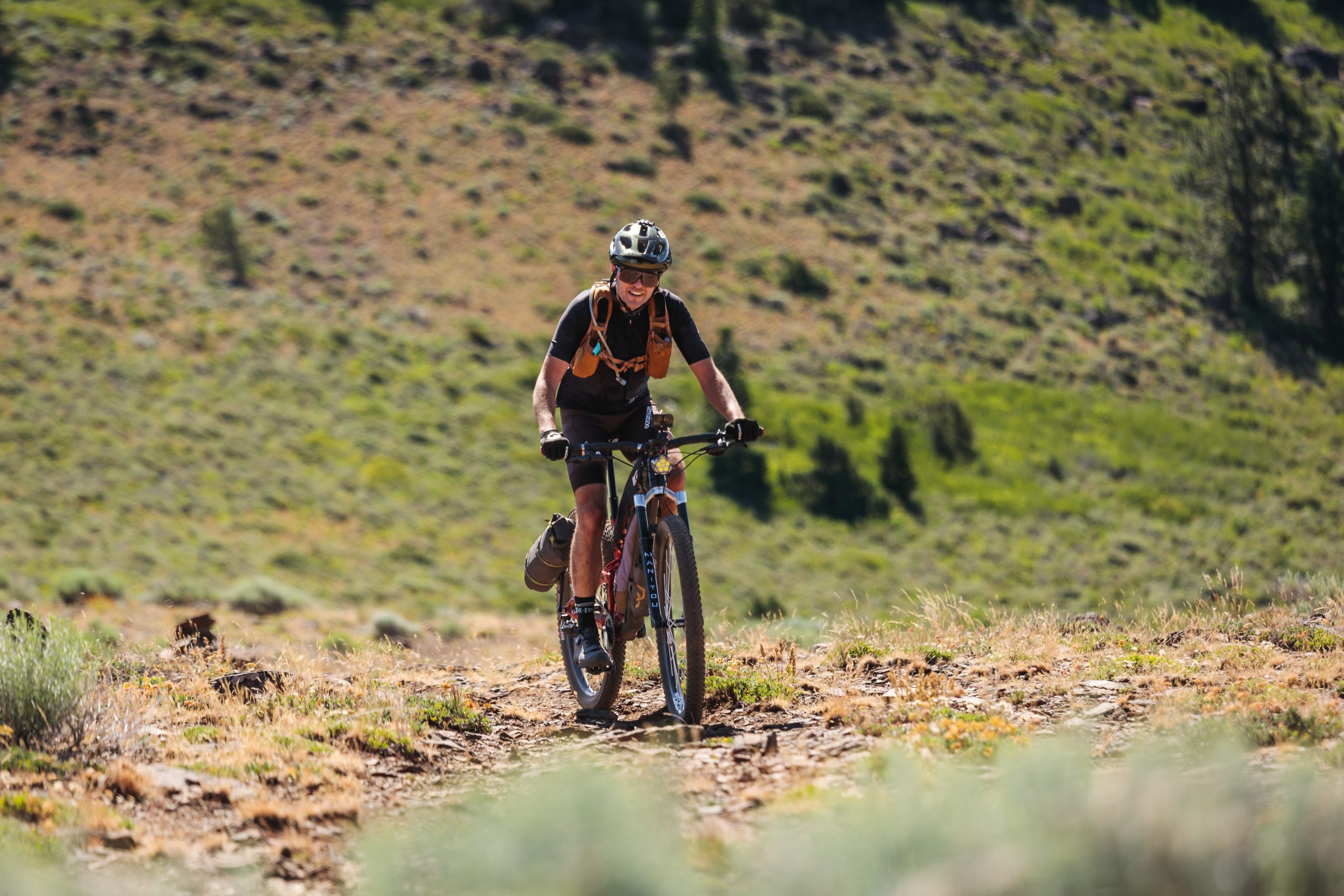
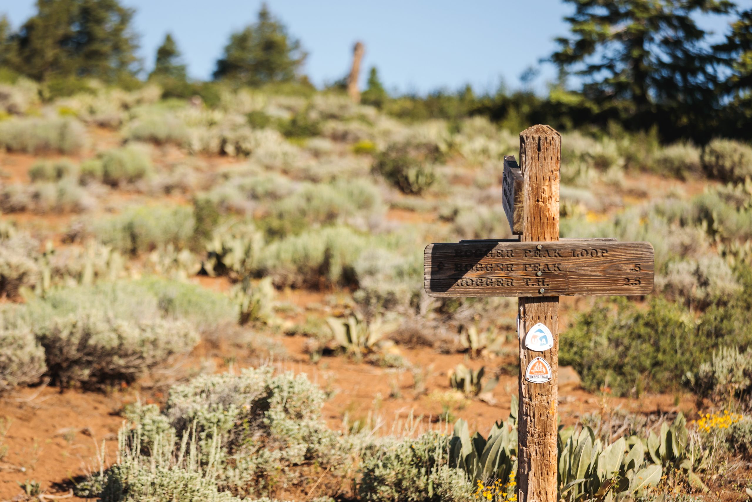

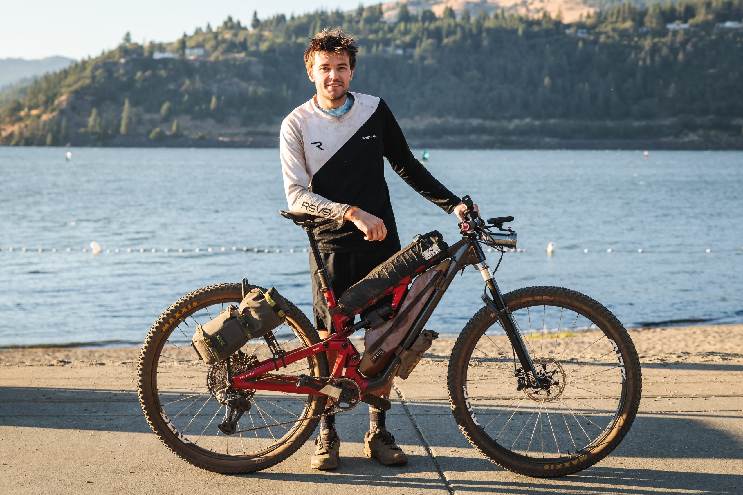
Alex Schultz, a member of Old Man Mountain’s Experimental Bikepacking Team, flew out to Oregon from his home in Arizona to race this year’s OTT700. A veteran of long, grueling ultra-distance mountain bike races, Alex wanted to try his hand at this Oregon race route that rivals well-known classics like the Arizona Trail Race and the Colorado Trail Race.
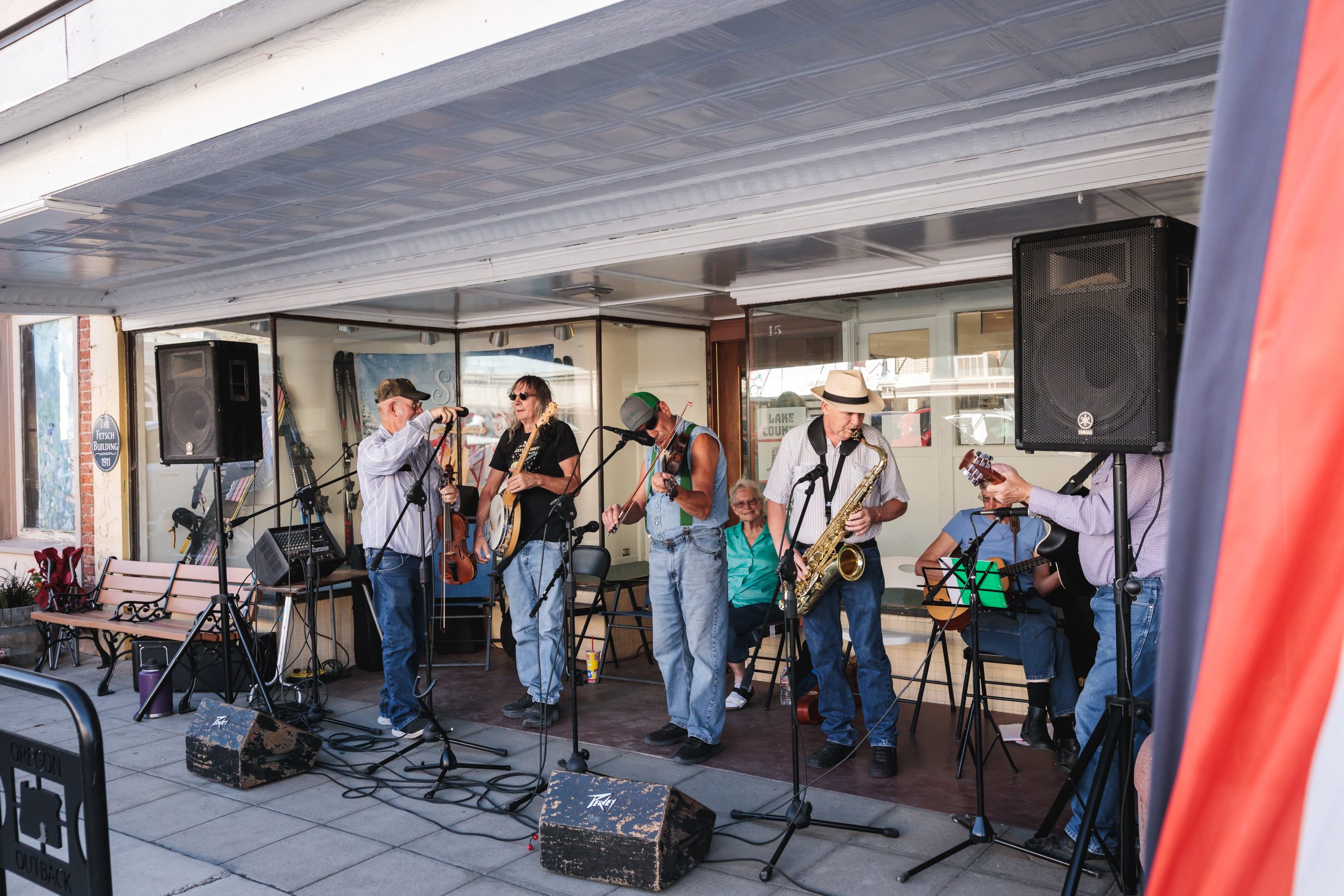
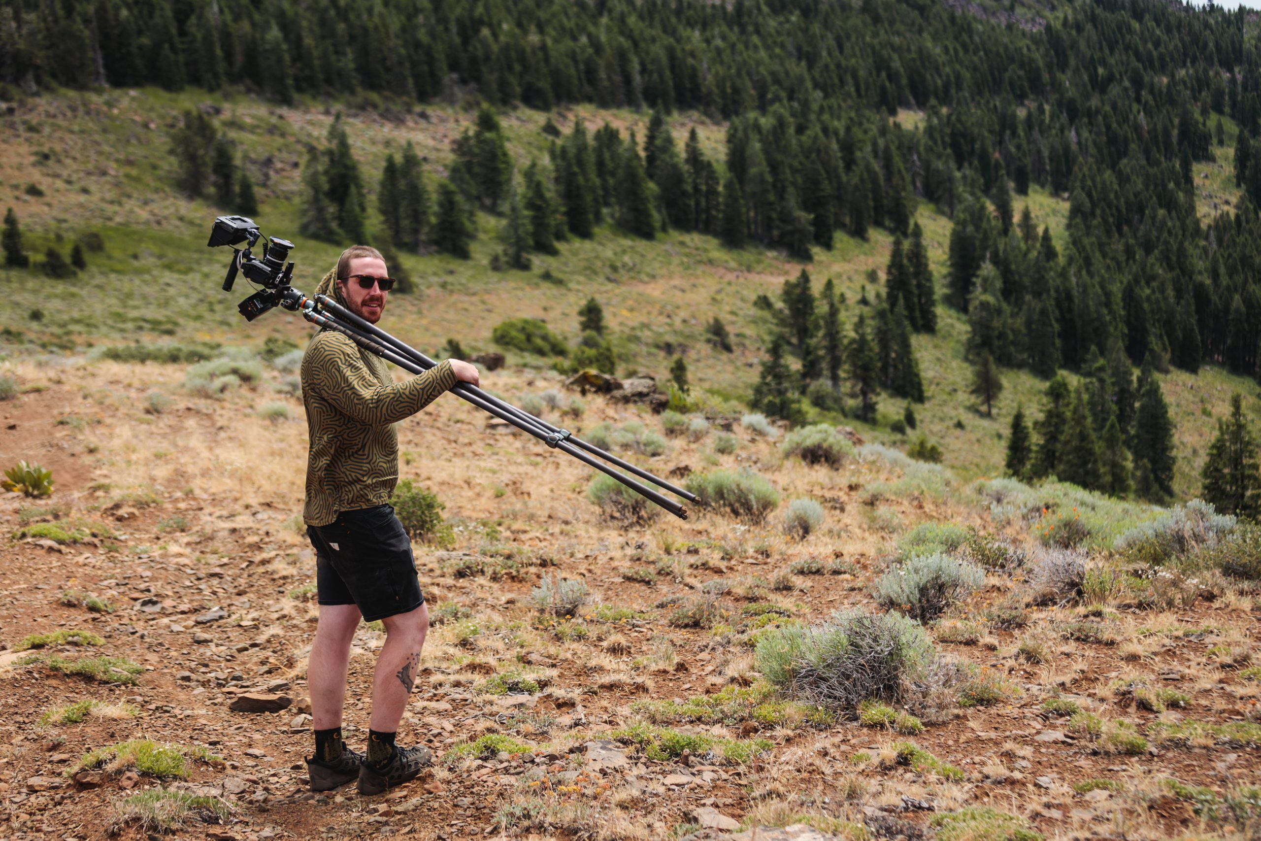
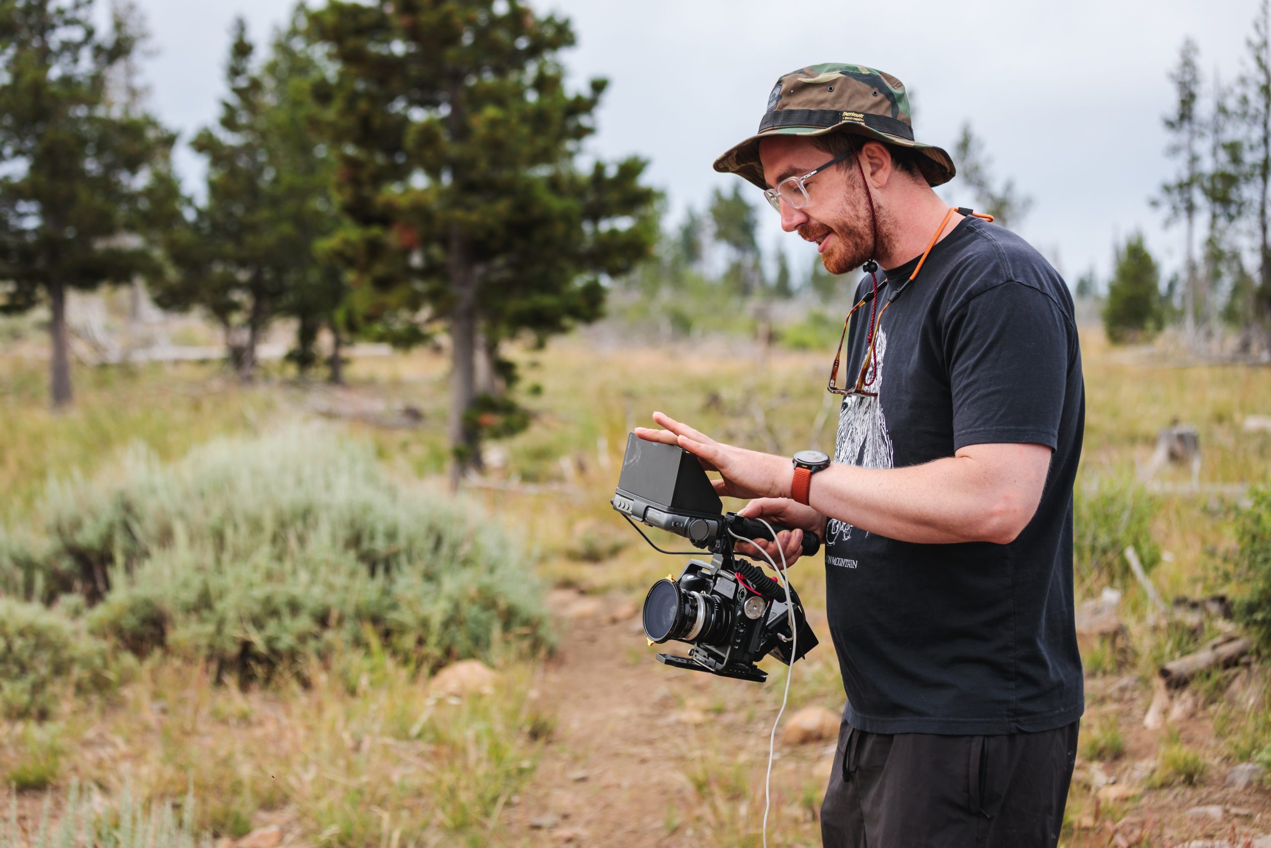
My coworker Zach Emerson and I documented Alex’s adventure along the route for the film Second Growth. We attended the pre-race festivities in Lakeview, continued to the Grand Depart the following morning and monitored Alex’s tracking dot over the next week, catching him in random, unexpected spots along the trail. We covered a lot of ground and found some beautiful places where the OTT intersects remote 4×4 roads.
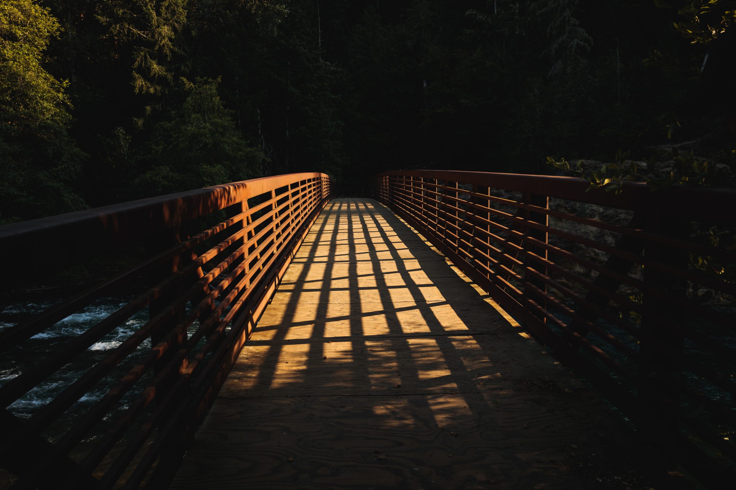
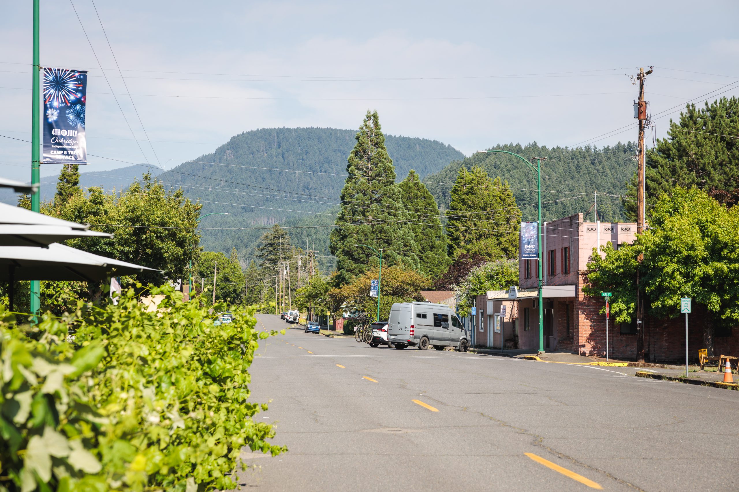
Self-sufficiency is a key part of ultra-distance cycling races. We knew that the prospect of seeing us at difficult points along the route could provide Alex with a morale boost. There are gray areas when it comes to what does and doesn’t count as “support”, and having friends or acquaintances along the route potentially falls into that category. We worked to minimize that by communicating none of our plans to Alex. He knew we would be filming, but after the start he didn’t know where we might be on the course, or if we’d be out there at one spot or several.
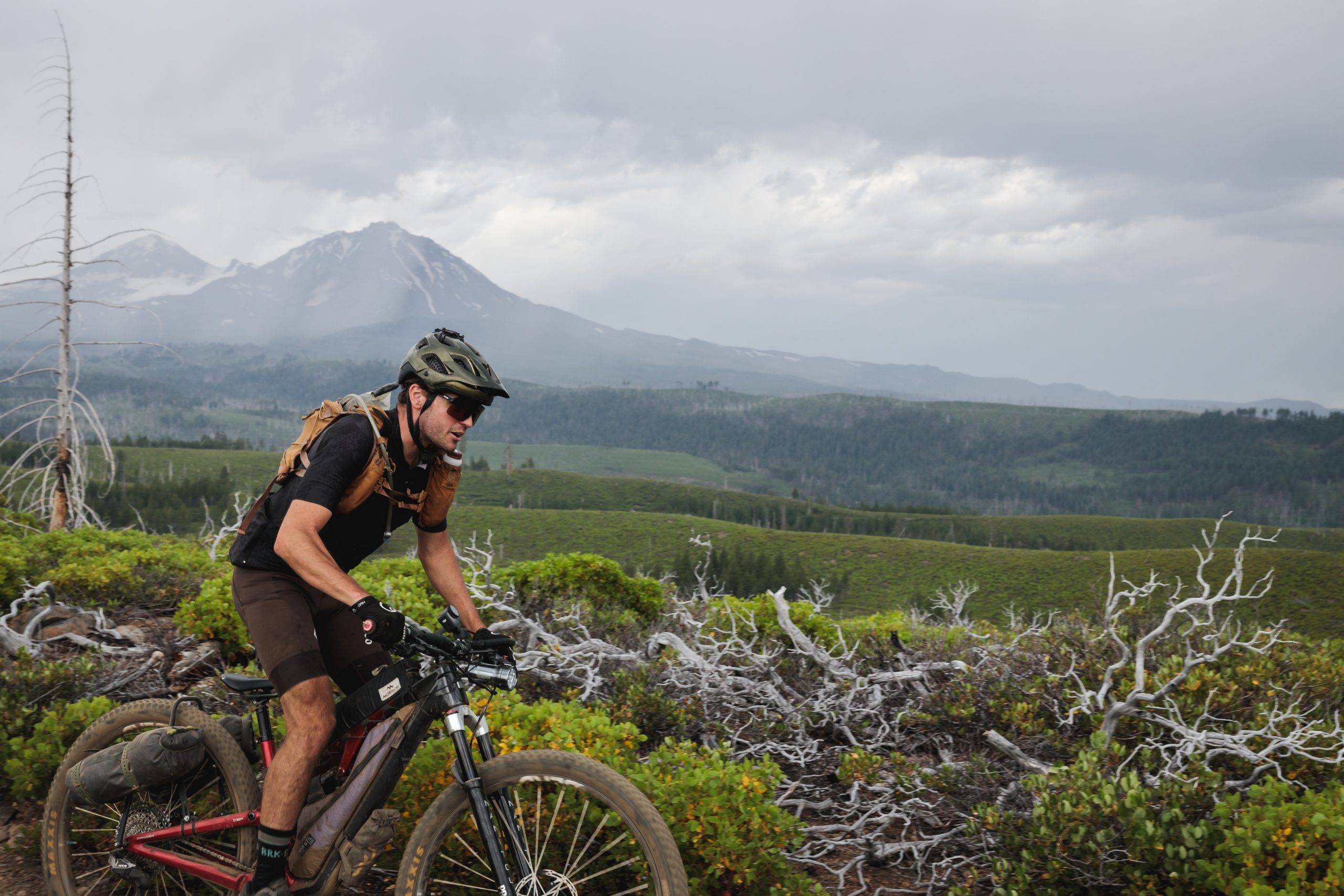
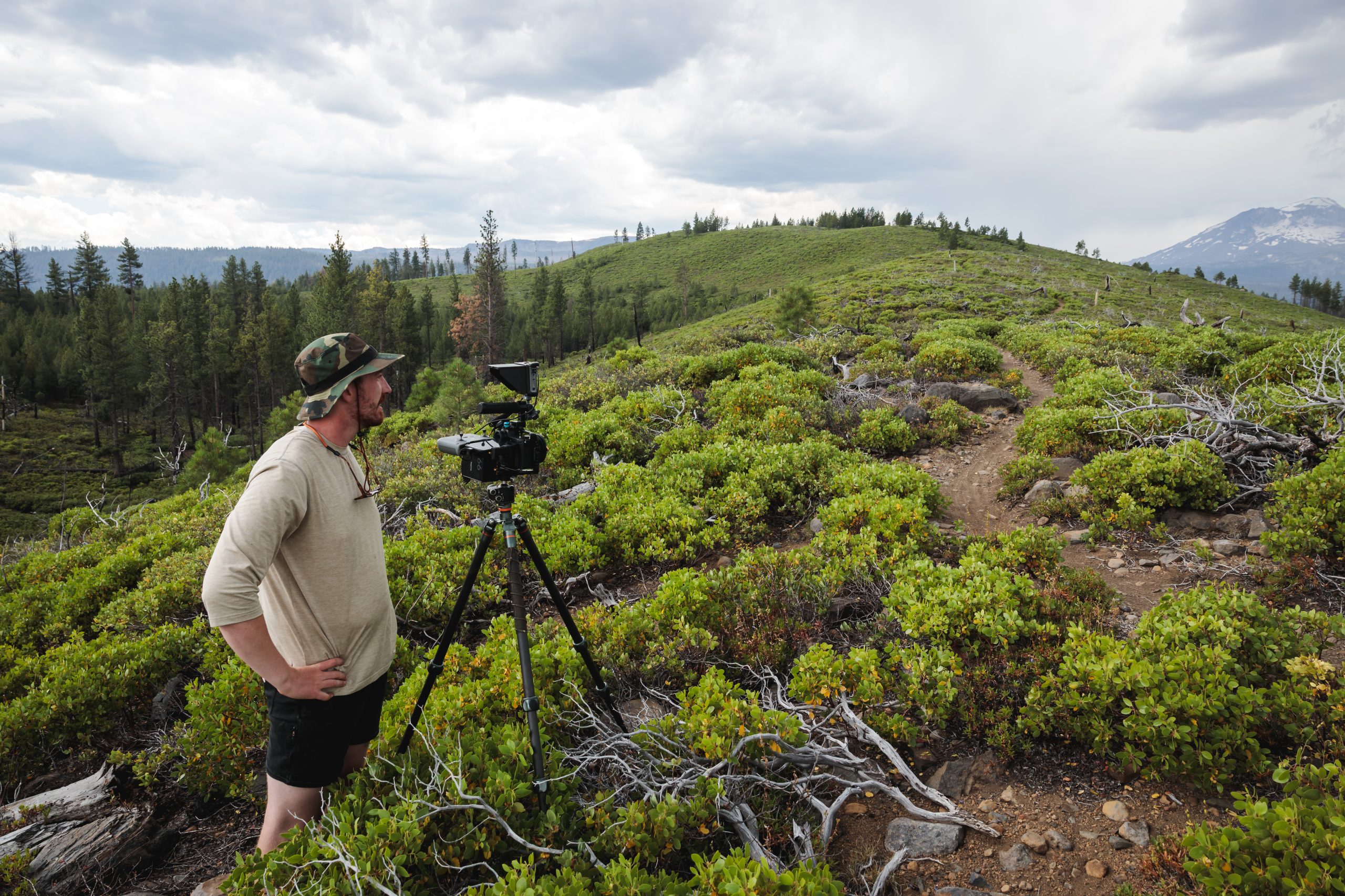
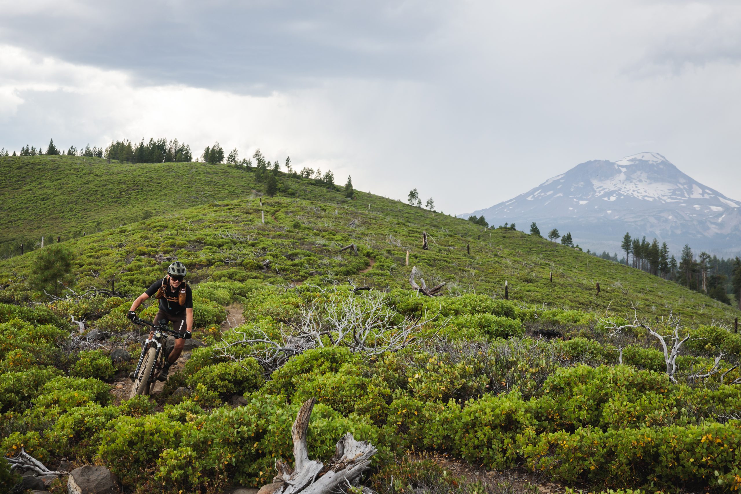
The OTT route isn’t easy to ride nor is it easy to access. The trail winds through remote areas of public land, avoiding roads as much as possible, with paved highway crossings few and far between. Fortunately I’ve ridden segments of the OTT, participated in an OTT work party (which was incredible – more of that on my agenda!), and have spent lots of time exploring the lesser-known corners of the state. Armed with that experience, the route’s GPX file, Google Earth, and race times from previous years, I worked to compile a plan for filming the route.
One of the biggest challenges when filming or photographing an event like this is being in the right places at the right time. There’s a lot of “hurry up and wait”, and then when the rider finally approaches you’ve got mere moments to capture what you’ve been waiting hours for. Spread that routine across an entire state over a week, much of it in areas without cell coverage to check rider tracking, and you’ve got a fun adventure. While not as difficult as the challenges racers face on course, it’s still an undertaking. Zach and I ended up driving nearly 1000 miles by the time the week was over.
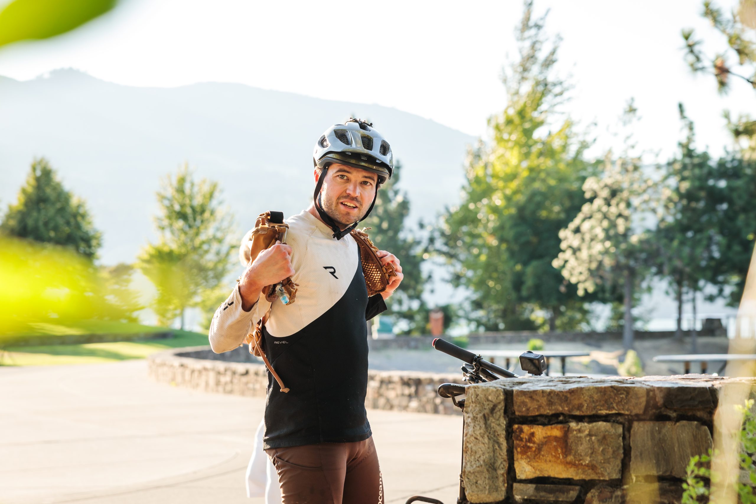
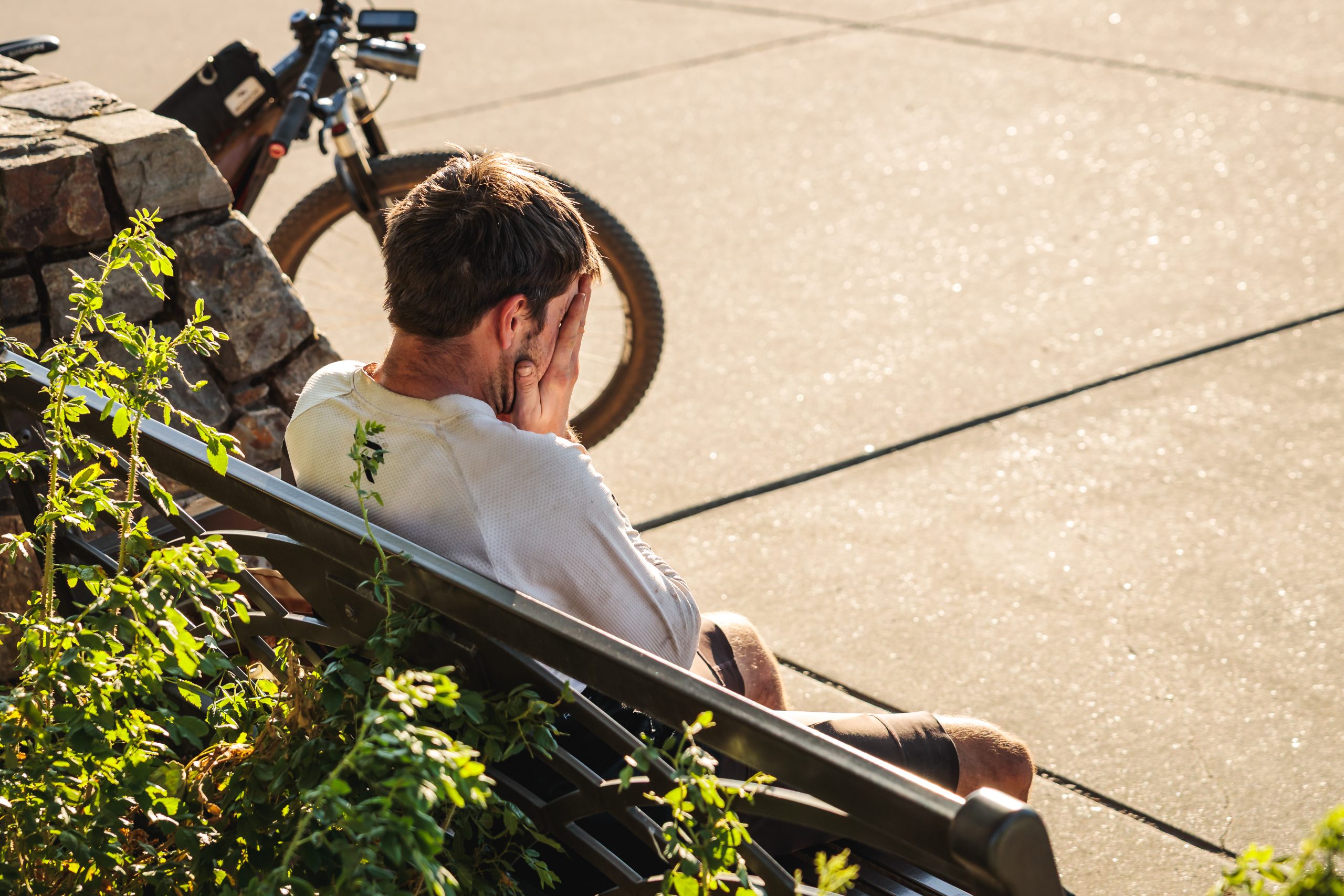
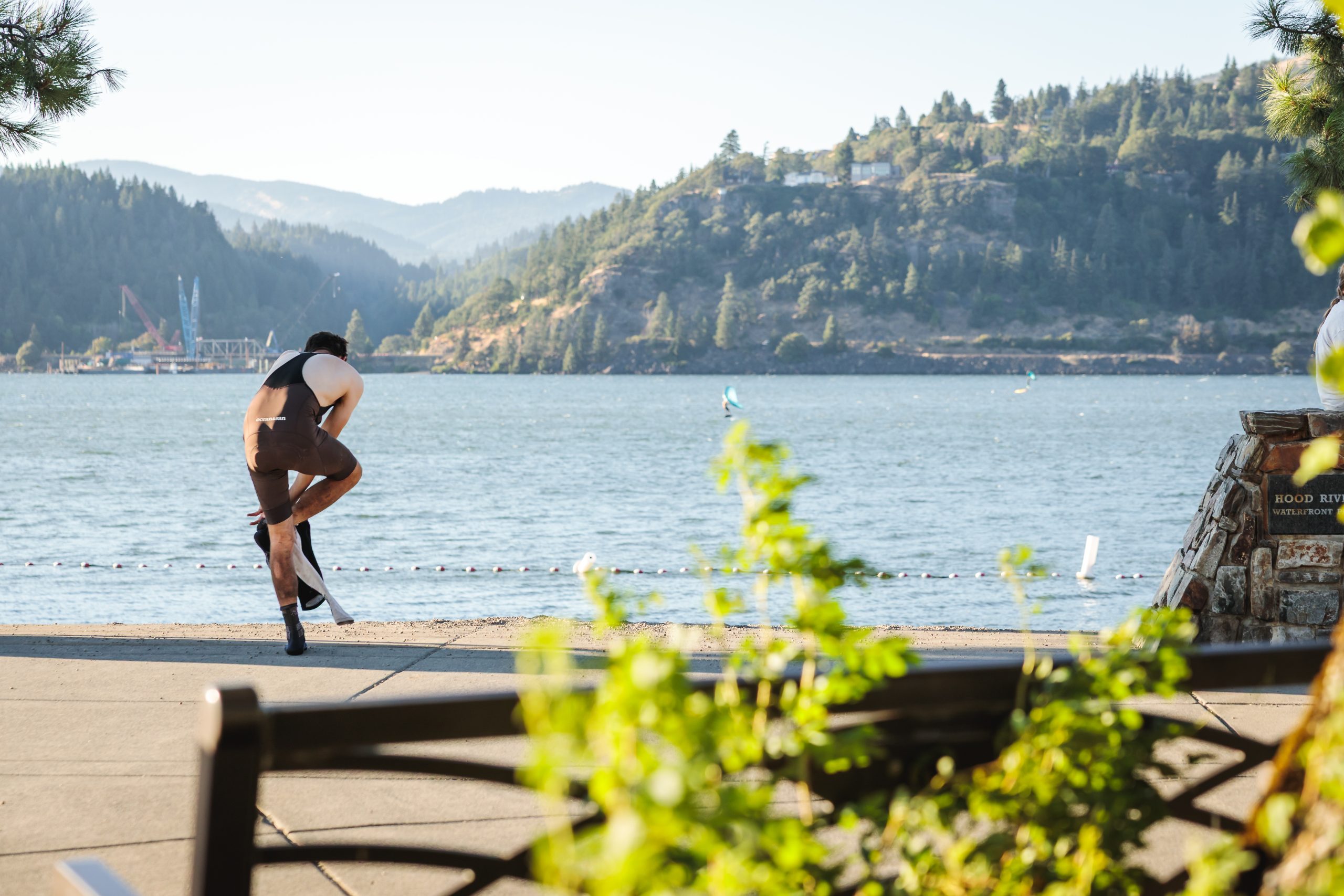
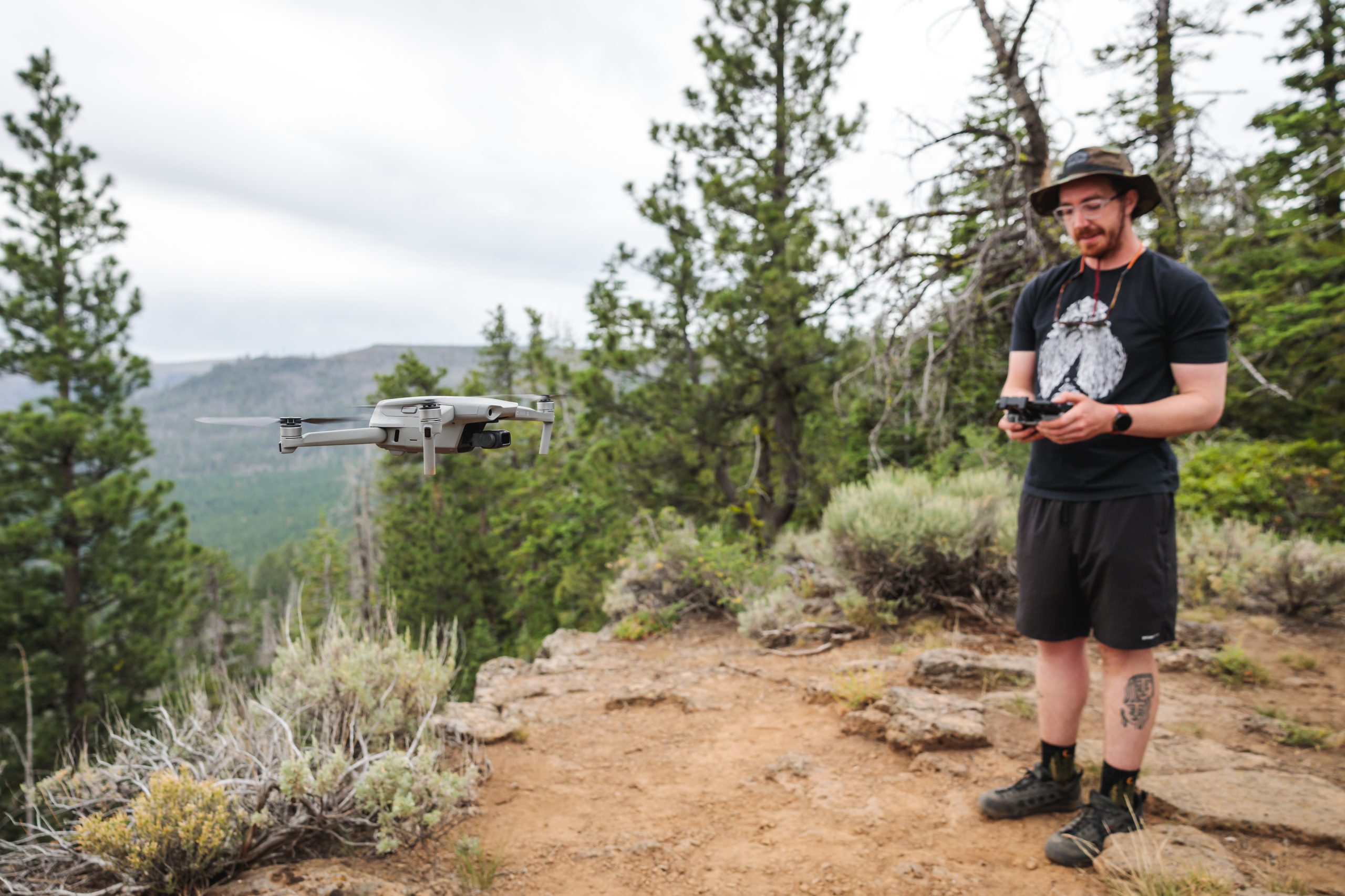
Fortunately our route planning paid off, our map reading skills held up, and we had almost no gear malfunctions (aside from a drone deciding it needed a firmware update in an area with no cell coverage). Zach and I successfully captured the video sequences we wanted, and I came away with some nice photos as a bonus.
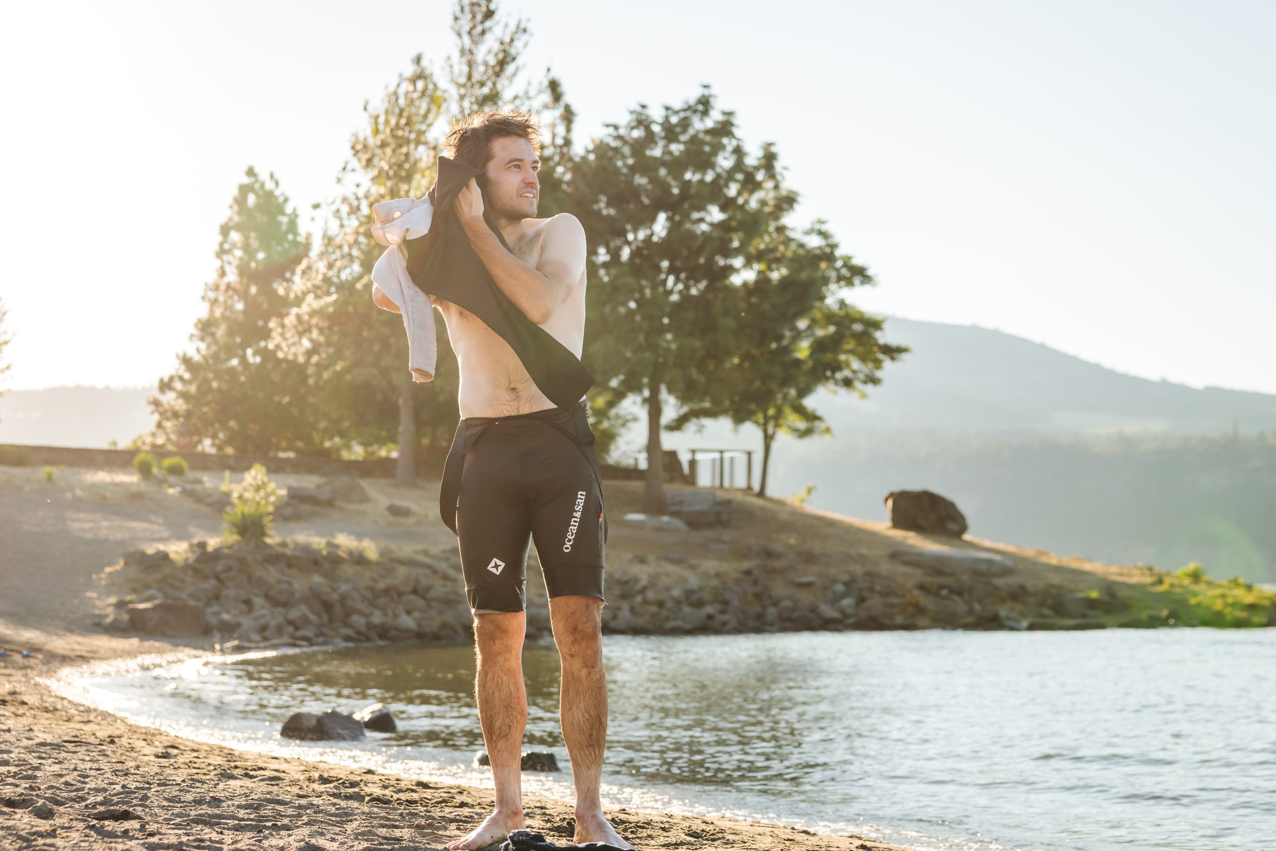
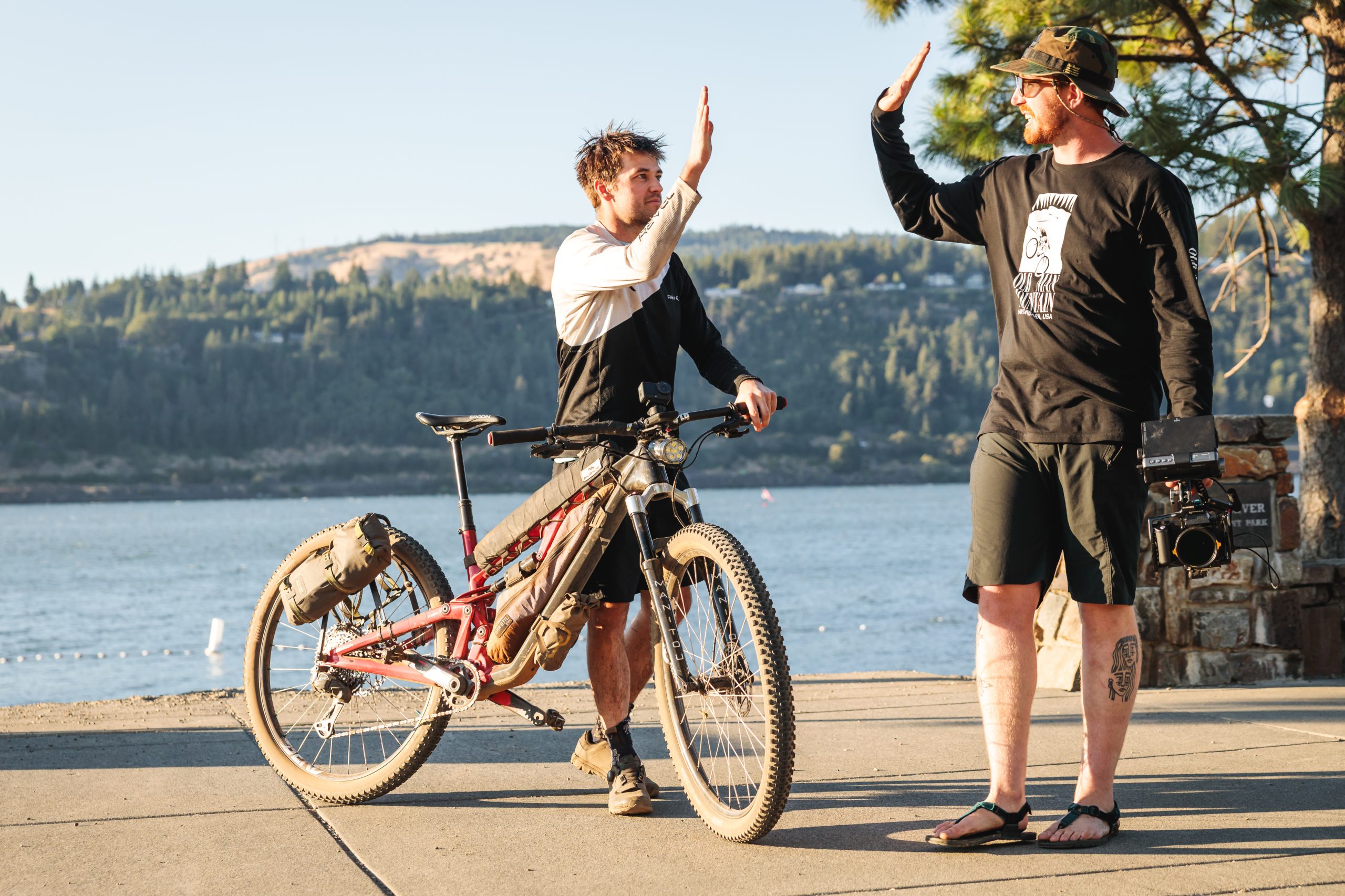
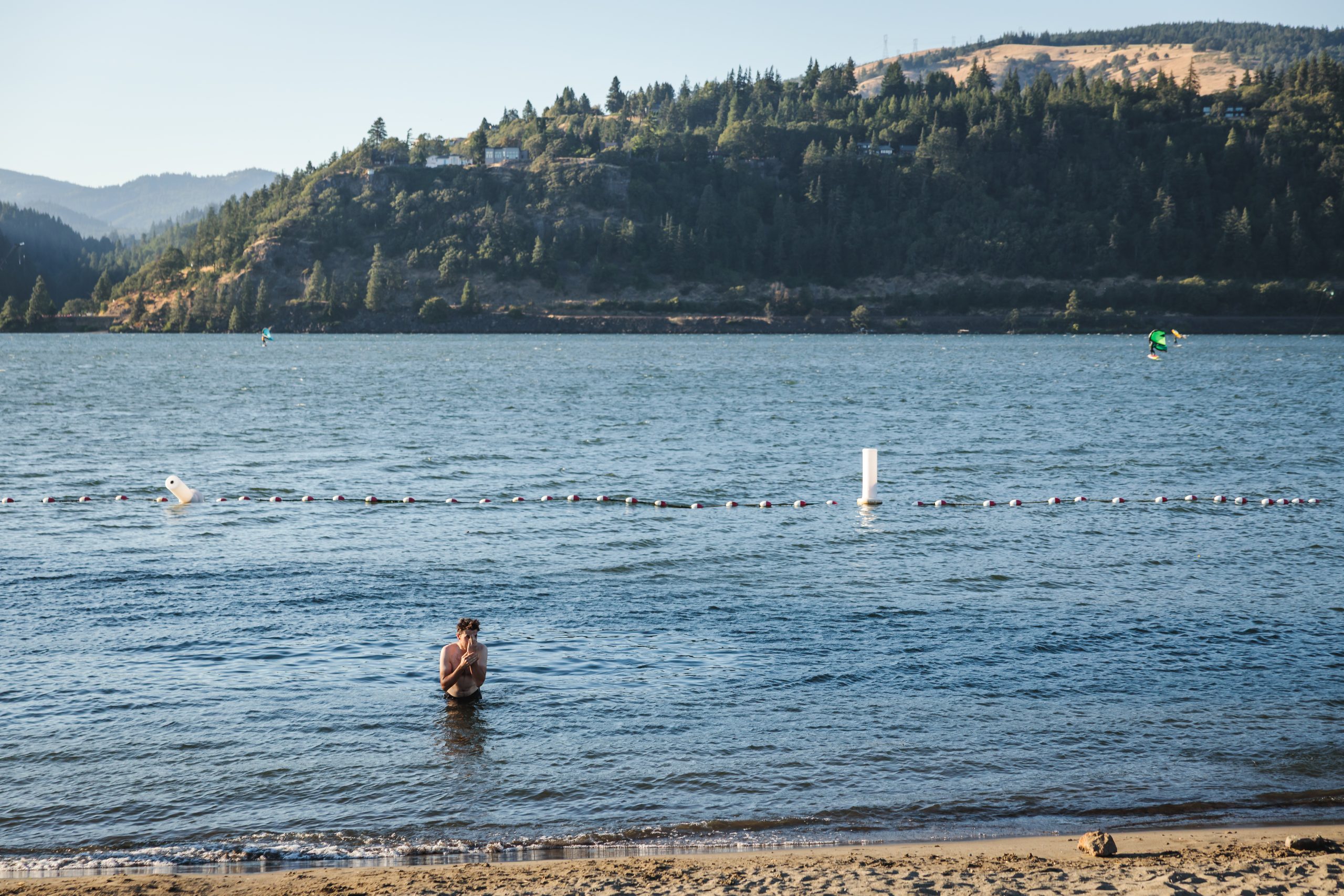
Alex reached the Columbia River in 6 days, 12 hours, and 44 minutes. We waited for him at the finish with our fingers crossed that he’d set a new Fastest Known Time (FKT) on the route. Trail conditions, fire closures, and other obstacles vary significantly from year to year, making an FKT on a route this long difficult to compare. Alex came close, winning this year’s event, but falling short of the current FKT of 6 days, 10 hours, and 10 minutes, set by Andrew Strempke in 2025. Nevertheless, it was a damn good adventure to witness the challenges he faced firsthand, while also having an adventure of our own traversing the beautiful expanse of Oregon.
One of our goals with this film, beyond telling Alex’s story, was to help bring attention to this world-class route. The communities, landscapes and ecosystems it traverses are remarkable, and the trails are well worth riding. Additional riders can mean more funding, deeper volunteer support, and ultimately, a stronger, more sustainable future for the Oregon Timber Trail.
We hope this film inspires more people to experience the route, even a small part of it, for themselves and become part of the community that keeps it alive.
Erich Weidenkeller
Community and Content Manager
Leave A Comment